Aerial Surveys
Aerial surveys have long been a staple of the surveying and cartographic community. The earliest known evidence of taking images from the sky comes from 1858, with French photographer Gaspard-Felix Tournachon taking aerial images of Paris from a hot air balloon. In 1882 the British meteorologist E.D. Archibald decided to take aerial images by sending up a camera mounted on a kite, thus pioneering the idea of unmanned aerial surveying which is very popular these days.
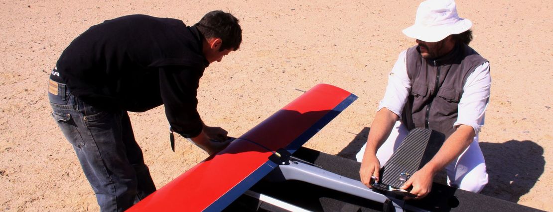
The 20th century truly introduced the idea of using aerial images for mapping. Technology made it possible to take high-resolution imagery or even video and then stitch them together and extract elevations using the concept of Photogrammetry. However, the technology used to do this was very complex and expensive, restricting it to large corporations, entities or governments. All this changed with the introduction of stronger, more portable computers, digital photogrammetry and drone technology. These leaps in technology mean that aerial surveying and mapping is now available to the general population at an affordable price.
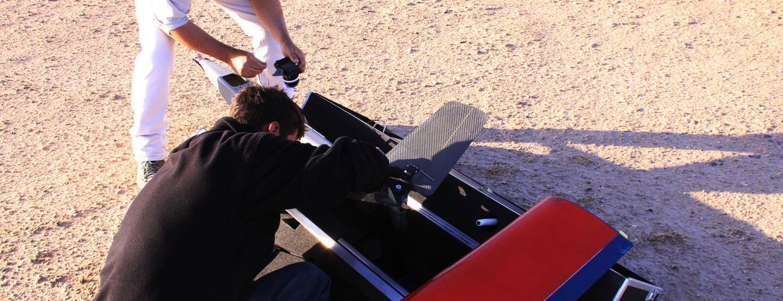
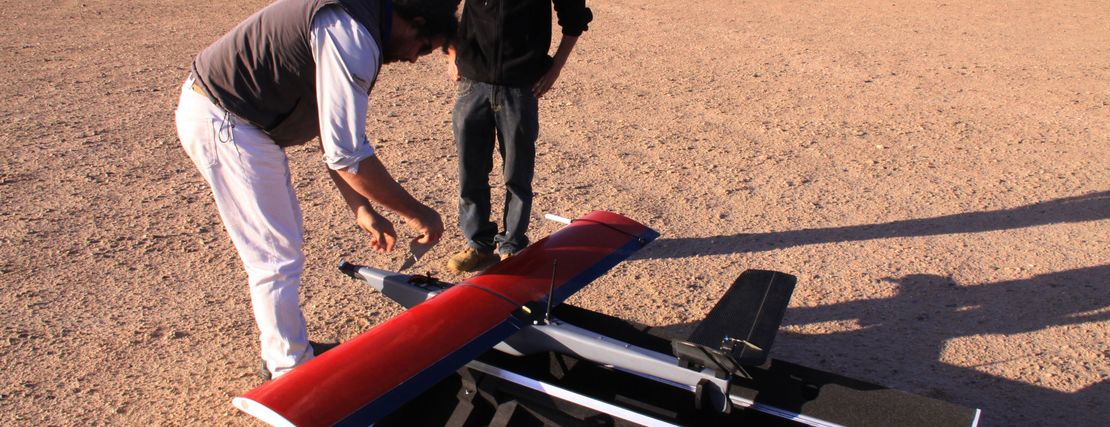
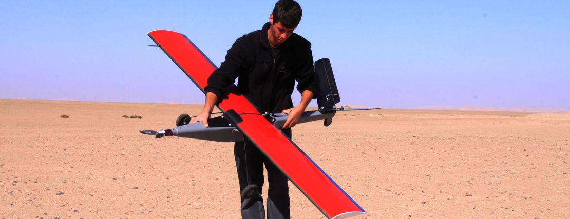
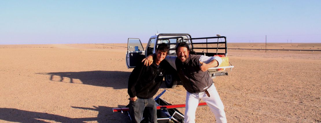
At Strydom and Associates, we have been conducting our own aerial surveys since 2010, when our founder Herman Strydom saw the Technology on Display at an annual surveying conference in Europe. Our first drones were locally manufactured in Namibia and were in service for 3 years before we upgraded to the next one, and have kept upgrading to keep up with the advancements in technology. At the same time, we started conducting aerial surveys on a larger scale when we bought our first manned aircraft, the Jabiru J430, followed by another light sports aircraft, the Sling 4.
We currently own numerous aerial surveying platforms so that we can effectively serve the needs of our clients. These include:
- 5 DJI Phantom 4 Pro drones for small aerial surveys up to 60ha in size
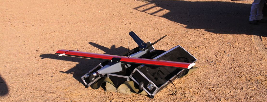
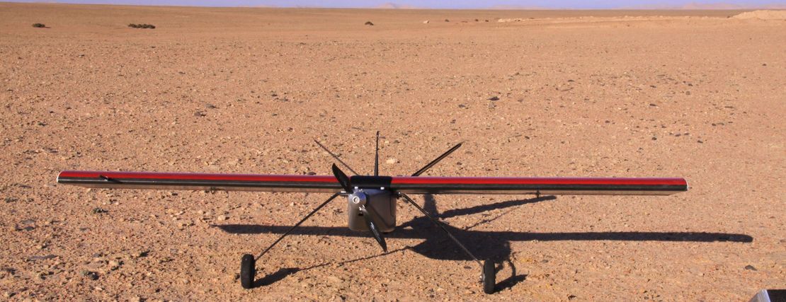
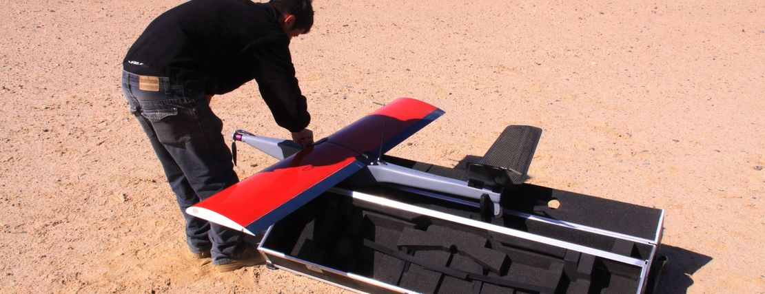
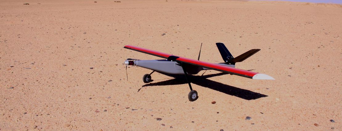
- Wingtra ONE VTOL drone for the aerial surveys of sites between 60 - 1000ha
- Cessna 182 aircraft with a range of 7 hours to conduct surveys of sites of 1000ha - 25 000ha