


Strydom & Associates - The Land Surveyors
Surveys & Services
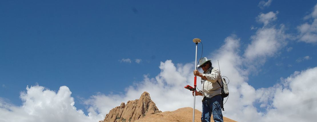
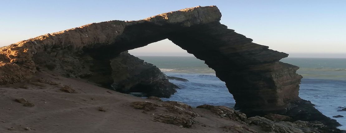
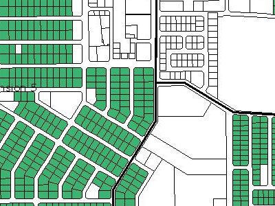
Cadastral Surveys
Cadastral surveys deal with one of the oldest and most fundamental facets of human society: the ownership of land. They are the surveys that create, mark, define, ...
Aerial surveys
Aerial surveys have long been a staple of the surveying and cartographic community. The earliest known evidence of taking images from the sky comes from 1858, ...
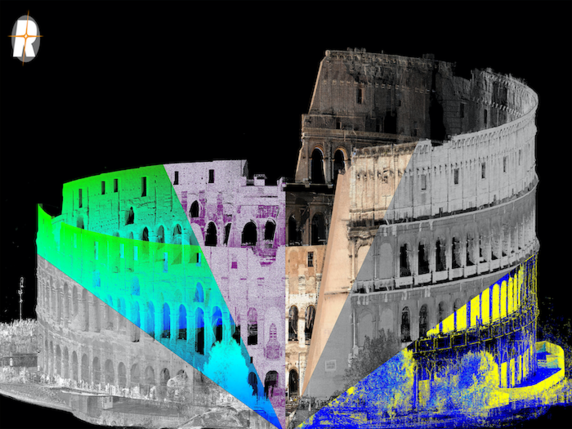
3D scanning
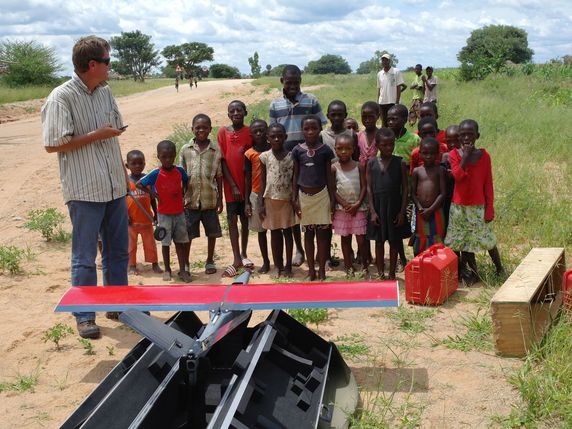
An unmanned aerial vehicle (UAV) is an aircraft without a human pilot. Its flight is controlled either by computers onboard, or under the remote control ...
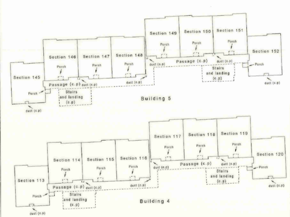
Sectional Title Surveys
Security and financial considerations are probably the biggest reasons for the growing interest in sectional title units.
A section means ...
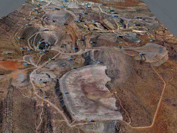
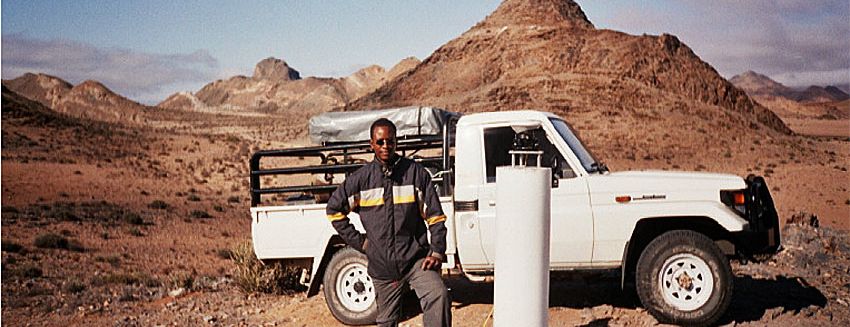
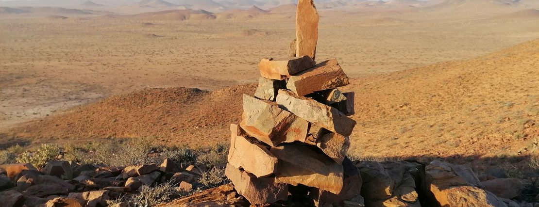
Mining surveys
Surveys for mining or mineral workings of all types like volumetric surveys, boundary surveys, reserve computations and stockpile audits ...

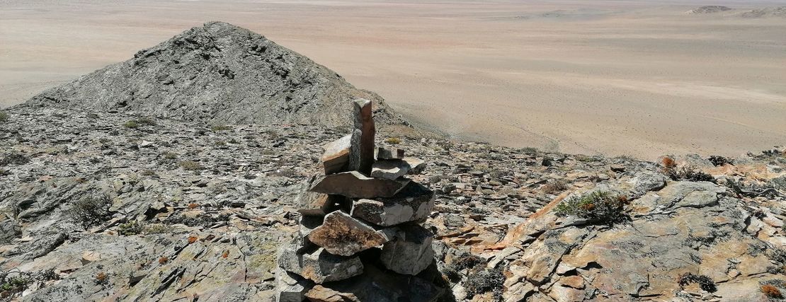
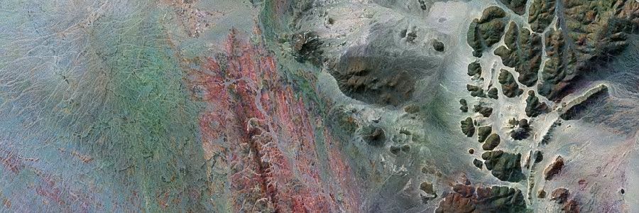
Topographical Surveys
the purpose of Topographical Surveys is to gather survey data about the natural and man-made features of the land, as well as its elevations ...

Engineering Surveys
Engineering Surveys associated with engineering design often require geodetic computations beyond normal civil engineering practice ...
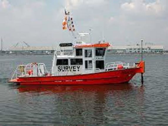
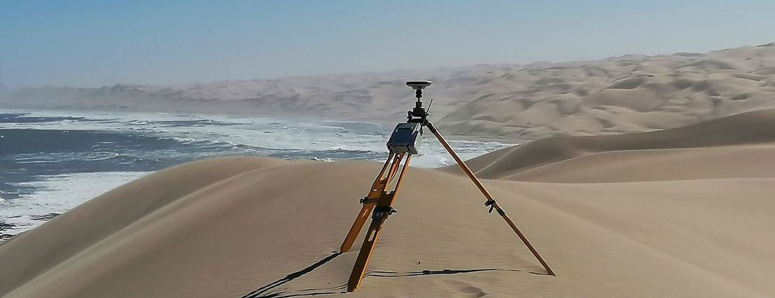
Hydrographic Surveys
We provide professional hydrographic, bathymetric and geographical survey services that cover a broad range of hydrographic disciplines.
Cadastral Data Capture
the fact that data capture is one of the most time consuming processes in GIS, turns the decision on how to collect data, one of the most important...
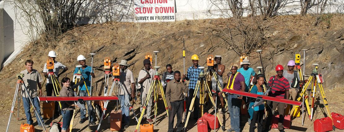
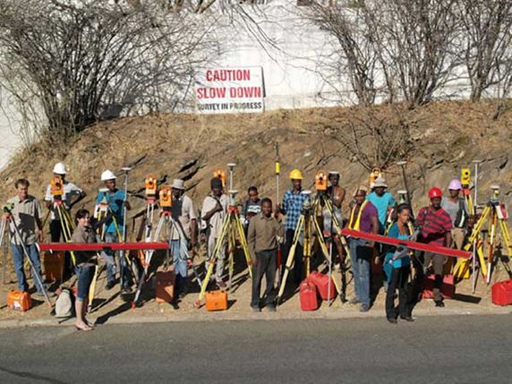
Projects
Projects
In more than 25 years our team has successfully implemented a really lot of projects - mostly in Namibia, but also in several other countries in Southern Africa: Angola, Equatorial Guinea, Congo, Mozambique, South Africa, Zimbabwe. Benefit from our experience and get in contact with us!